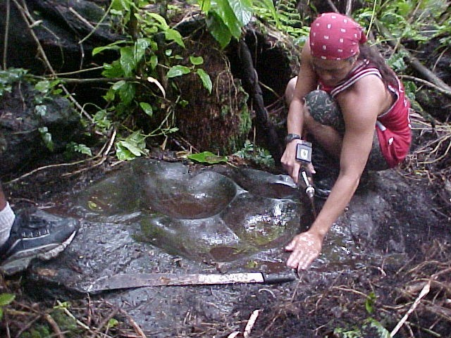
The islands of American Samoa have a total land area of 76 square miles. Tutuila contains about two thirds of the total area and is home to 95% of the 65,000 islanders. American Samoa is located 14 degrees south of the equator, and 172 degrees meridian west, and is the center of Polynesia. Located 2,300 miles southwest of Hawaii and 1,600 miles northeast of New Zealand, it forms a strategic midpoint on vital shipping and air routes.
Linguistic and cultural evidence suggest that the first Samoa inhabitants migrated from the West, possibly by way of Indonesia, Vanuatu, Fiji and Tonga, to the eastern tip of Tutuila near the present village of Tula around 600 B.C.. It is believed that there was at least an 800 year history of contact with Fiji and Tonga, before the Samoan islands were "officially" discovered by Dutch Explorer Jacob Roggeveen in 1722.


0 comments:
Post a Comment